Allegany County Economic And Community Development I68

Facilitating Trade In and Through our Region

Infrastructure and Commerce

Learn about how our local infrastructure can better connect you to your suppliers and buyers, no matter where they are located.

Highways, Interstates and Rail

Getting More Goods to More Markets

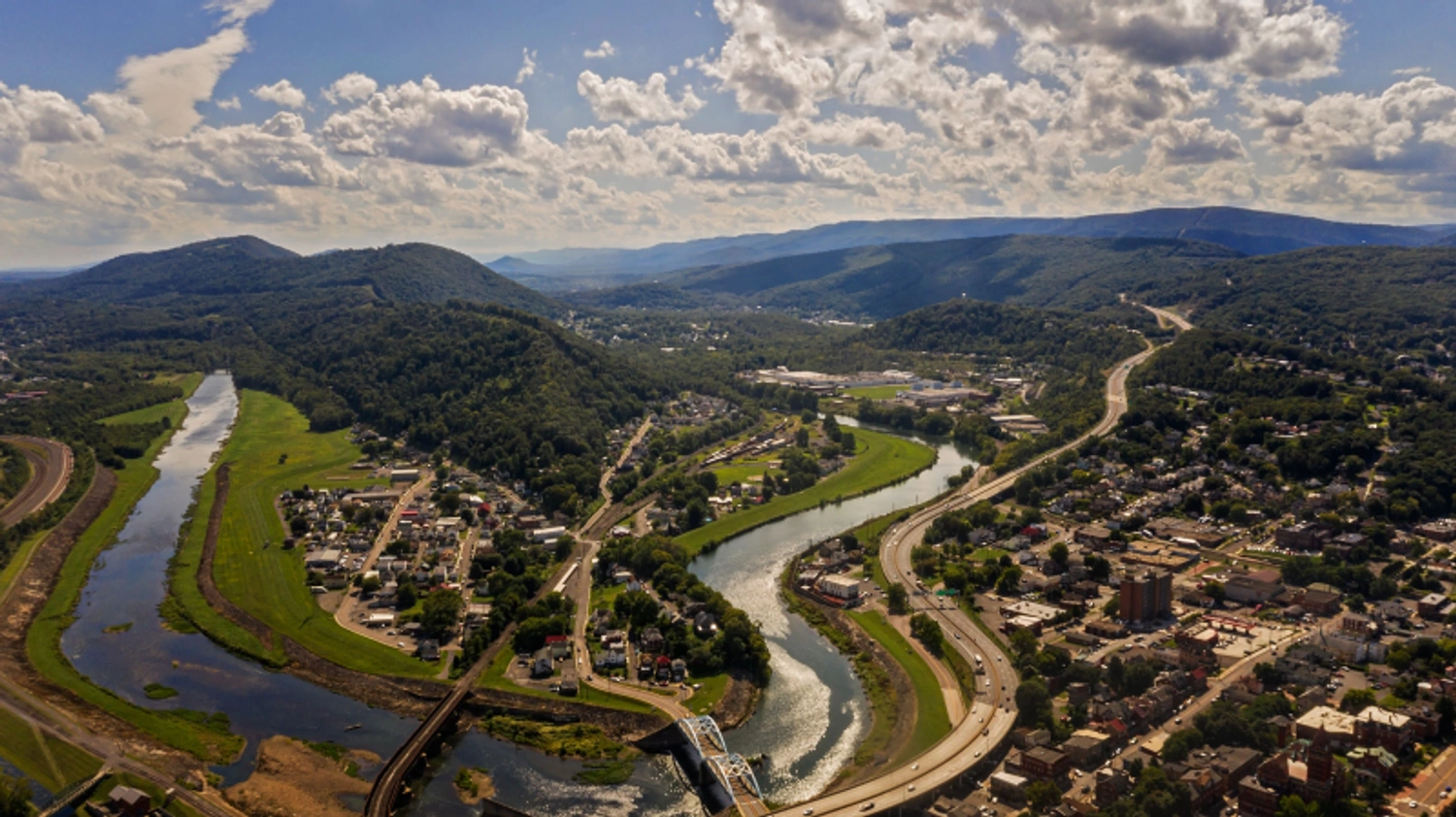
Goods flow through Allegany County on a daily basis. Whether connecting at CSX's Cumberland Terminal Subdivision via container coming from the Ports of Baltimore or Norfolk, or traveling westward via I-68, Allegany County has always been a center of logistics and commerce. Mule-pulled canal boats made way for an intricate highway system. Rail lines still intersect the county, and many local manufacturers benefit from having dedicated spurs on-site. With continued state and federal investment in our roads and bridges, Allegany County offers competitive and comprehensive transport infrastructure to help you get your product on shelves, faster.

directions_car

Highway and Interstate

Maryland continues to heavily invest in its highway infrastructure, and Allegany County is no exception. With major expansions and improvements planned and underway, our local capacity continues to grow.

train

Railway

CSX operates the Cumberland Terminal Subdivision and has multiple lines snaking through the county. The terminal connects to multiple subdivisions to the north, east and west.

flight

Airport

Originally built to serve local plant executives visiting via corporate jet, the Greater Cumberland Regional Airport is now a vital link for passenger flights in our region.

connecting_airports

Additional Airport Connections

Commercial flights to Allegany County are served by a number of nearby airports, both national and international, all within a two-hour drive or less.

  • Pittsburgh International Airport (PIT)

  • Baltimore/Washington International Thurgood Marshall Airport (BWI)

  • Dulles International Airport (IAD)

  • Ronald Reagan Washington National Airport (DCA)

  • Altoona-Blair County Airport (AOO)

  • Hagerstown Regional Airport (HGR)

  • Johnstown Airport (JST)

  • North Central West Virginia Airport (CKB)

Allegany County Economic And Community Development Airport

Connecting Points in All Directions

Use our mapping tool to see how far your major markets are from Allegany County. Click the plus or minus buttons to expand or contract the radius distance from 50 to 500 hundred miles, roughly one day's drive by tractor trailer. Click on relevant pins, and map out highway and train connections.

Interested in Learning More? Search Available Sites in Allegany County
50 miles

The I-68 Regional Alliance

An organization that represents the combined interests of five counties in Maryland, Pennsylvania and West Virginia, the I-68 Regional Alliance promotes cross border development. Leveraging local influence has helped secure funding for state highway expansion and other key infrastructure projects.

Visit the Alliance

Maryland Domestic and Interstate Trade

Commerce Snapshot

Use the below embedded datasets to learn about trade and commerce in Maryland. Embedded visualization are powered by Data USA.

Maryland is continuing to rapidly grow, with services constituting a large portion of its economic footprint. As the state makes additional investment in biotechnology and cybersecurity, it also recognizes the important role that manufacturing plays in expanding its output. Explore the data visualizations below to learn more about Maryland's domestic and interstate trade.

Speak to our team about commerce and infrastructure

Send us a message

Send us a message and we'll be happy to help or connect you to the relevant agencies, including MDOT and Commerce.